Shoreline Comparison
The coastline of Lake Michigan is dynamic. Living along the coast requires that we understand how natural forces erode the shoreline over time. The interactive map to the right allows you to compare the shoreline today to various points between 1937 and 2015.
Erosion is a constant and ultimately inevitable process. Attempts to slow erosion in one place accelerate it elsewhere. For example, Milwaukee County's Sheridan Park (City of Cudahy) has been protected by erosion-slowing features called "groins." However, that protection has caused the area south of the park to erode at a faster rate.
Bluffs at Sheridan Park, City of Cudahy.
This effect can also happen at a large scale. Coastal engineering to protect the urban areas of Milwaukee, Racine and Kenosha have significantly accelerated erosion of southern Kenosha County's shoreline, such as Carol Beach, in the village of Pleasant Prairie.
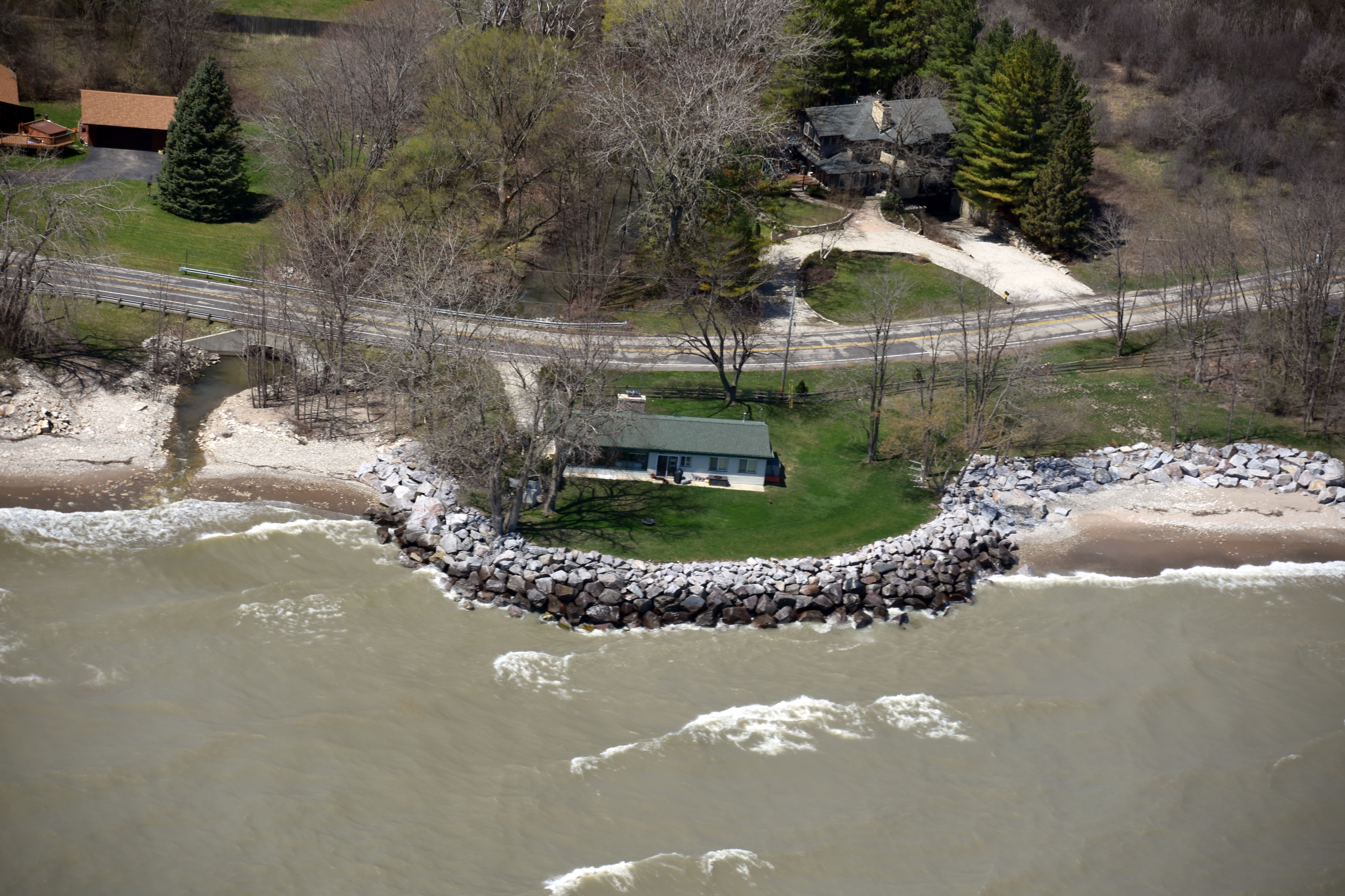
Buff reinforcement on Carol Beach, in the village of Pleasant Prairie.
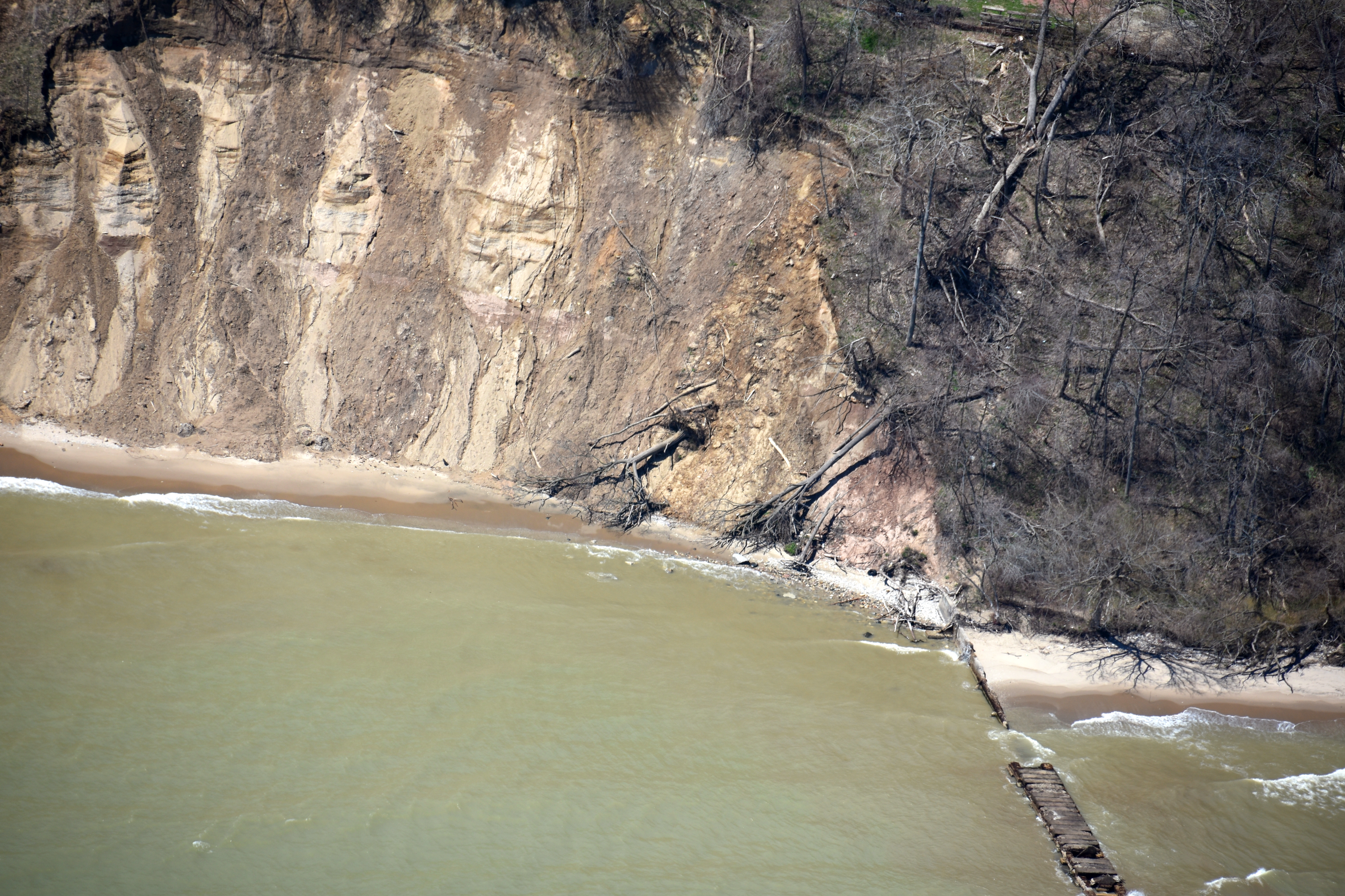
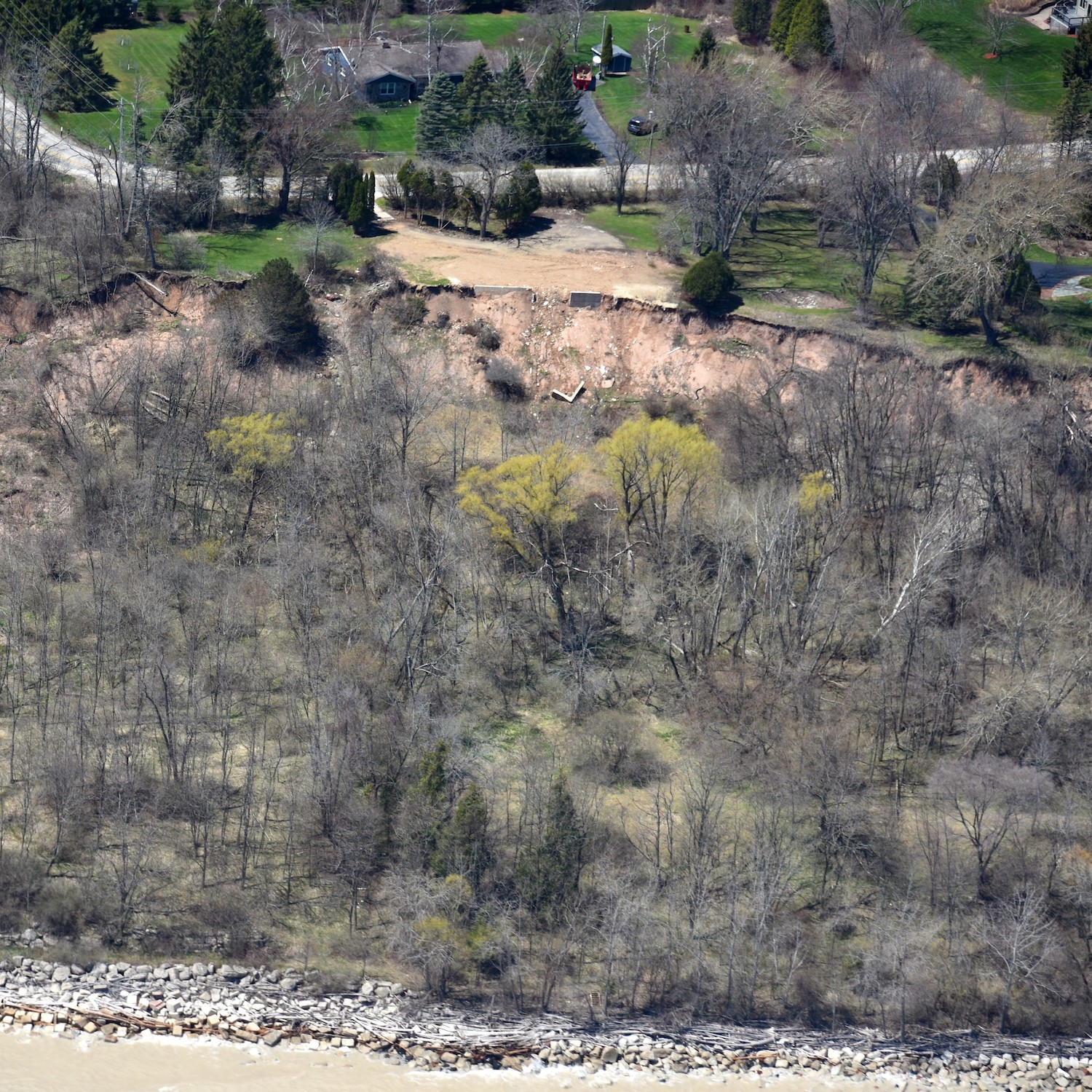
The consequences of erosion on Lake Michgain's bluffs can be more dramatic—and more dangerous. Years and even decades can pass without any major visible change, and then in one large event, a section of blufftop 50-feet deep and 100-feet wide can fall into the lake. Calculating an appropiate setback is imperative for anyone seeking to build on the bluffs.
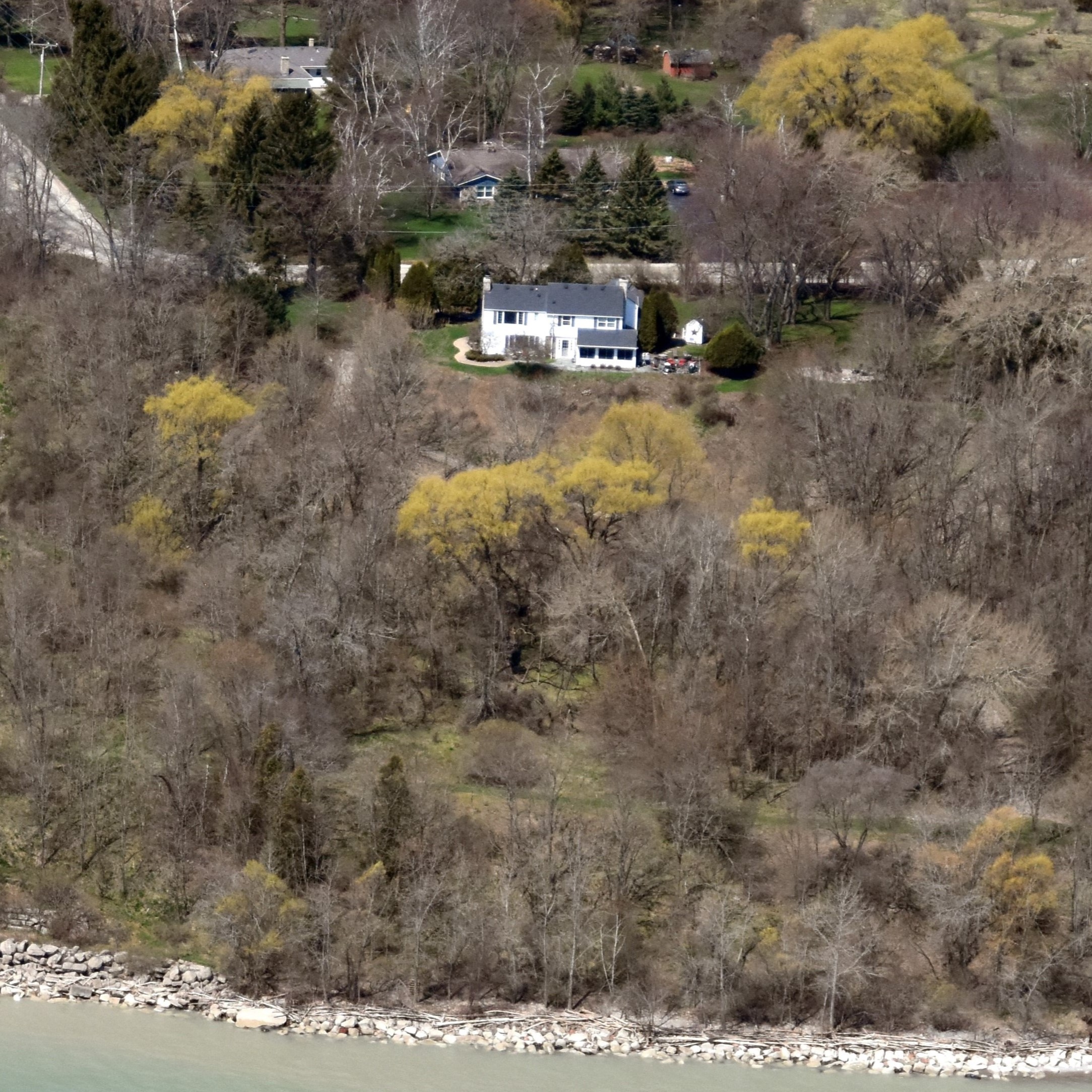
2019
A bluffside house in the Town of Grafton, Ozaukee County.
2021
A sudden slump moves the bluff crest.
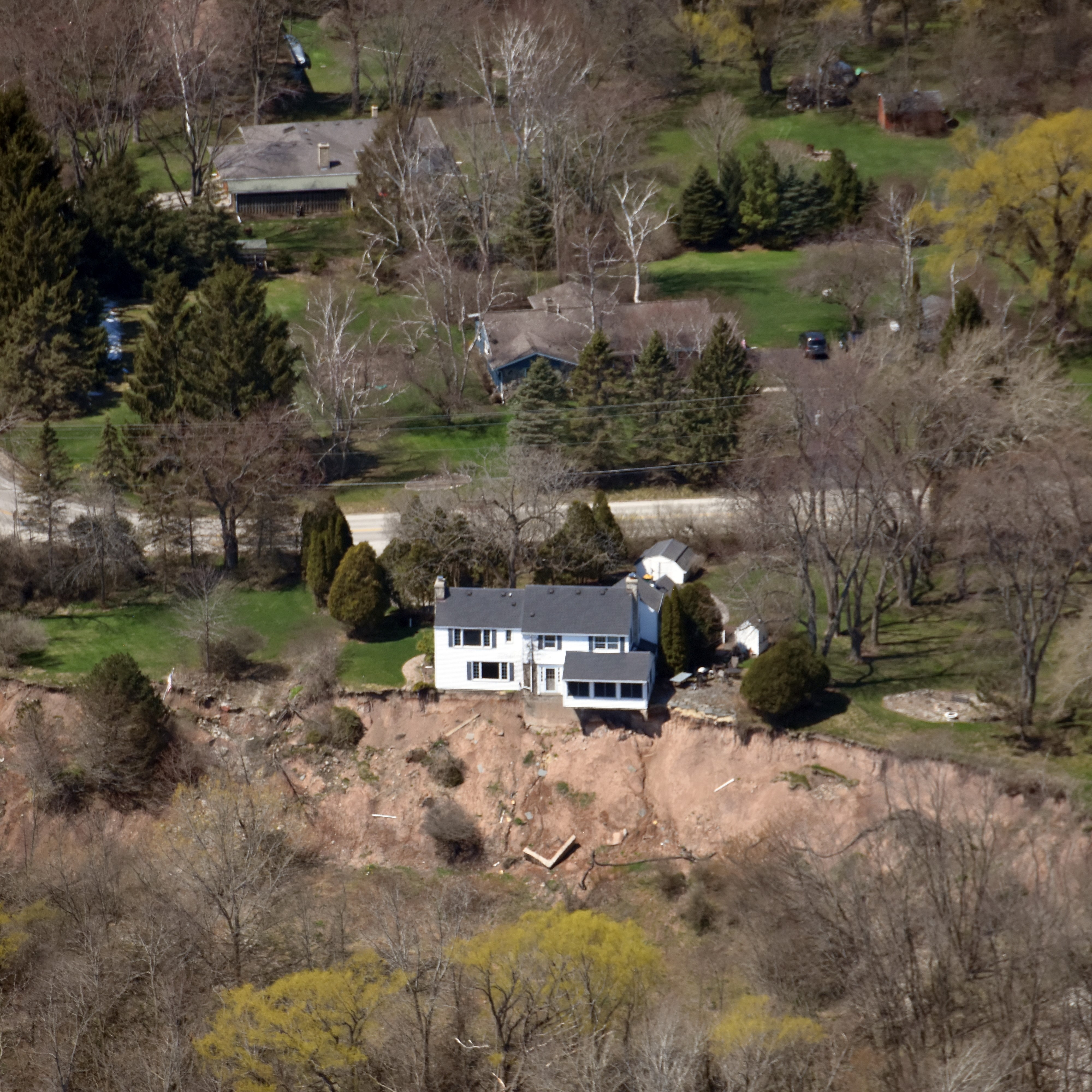
2022
The house is vacated and removed.
Impact of bluff erosion on a house in the Town of Grafton, Ozaukee County.
Bluff erosion on the Lake Michigan coastline can be seen when comparing aerial imagery between years. The below image compares two years on the Ozaukee County coast.

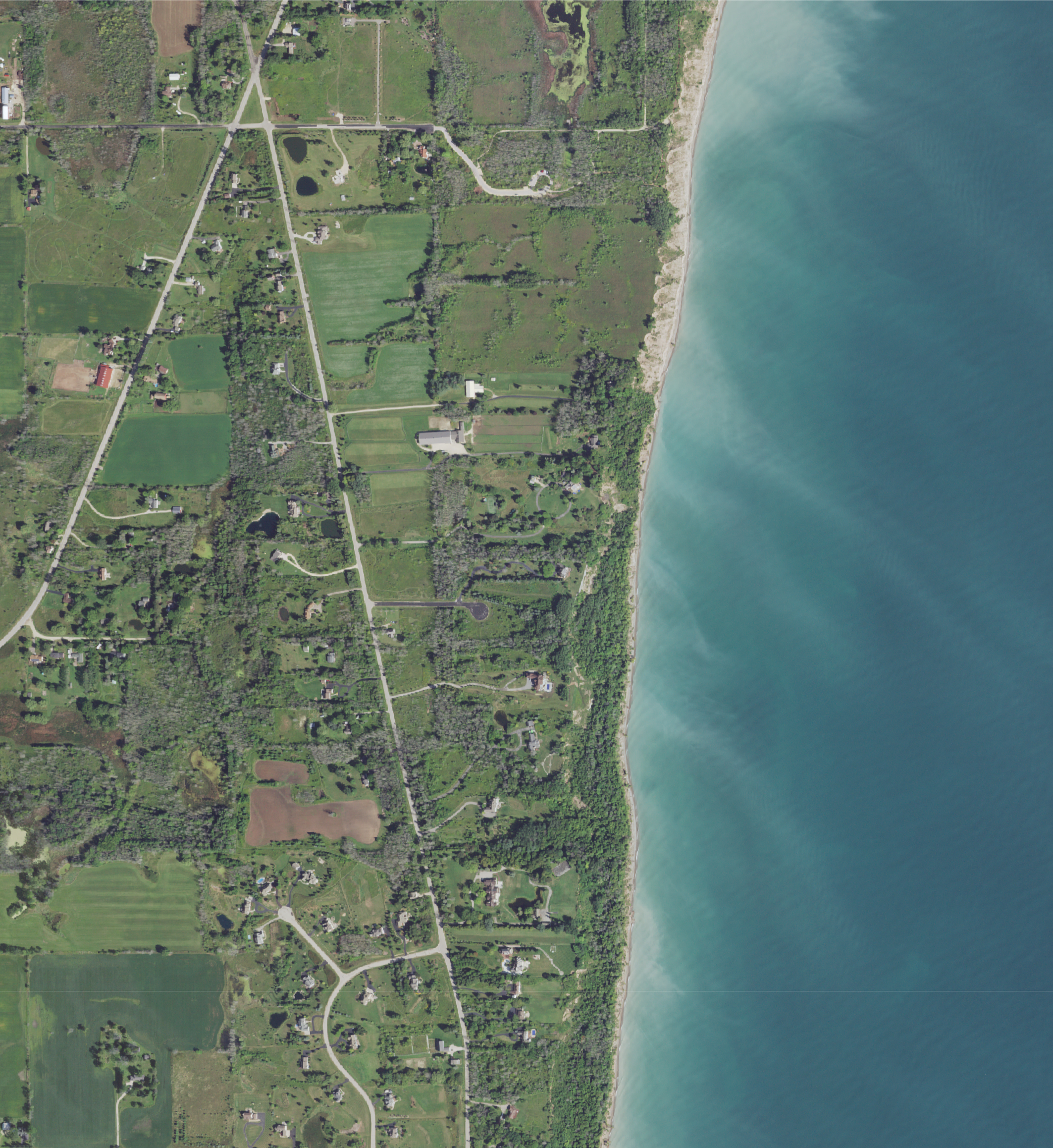
Comparison between 1956 and 2020 on the Ozaukee County coast.